Terrain grid on Stratis.jpg – File
Jump to navigation
Jump to search
Size of this preview: 800 × 506 pixels. Other resolution: 1,000 × 632 pixels.
Original file (1,000 × 632 pixels, file size: 379 KB, MIME type: image/jpeg)
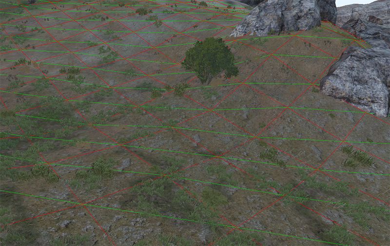
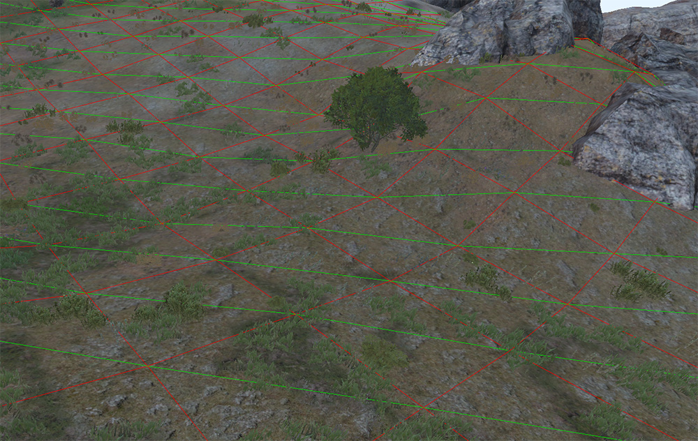
Each triangle of the terrain is formed by a diagonal that starts from the top-left corner of the cell and ends and the bottom-right corner. The green lines show the cell diagonals
File history
Click on a date/time to view the file as it appeared at that time.
| Date/Time | Thumbnail | Dimensions | User | Comment | |
|---|---|---|---|---|---|
| current | 07:52, 23 June 2022 | | 1,000 × 632 (379 KB) | Leopard20 (talk | contribs) |
You cannot overwrite this file.
File usage
The following page uses this file: