Chernarus: Difference between revisions
Category: Arma 2: Islands
No edit summary |
No edit summary |
||
| Line 22: | Line 22: | ||
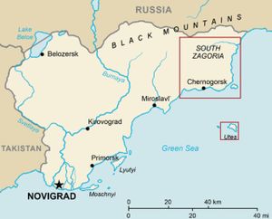
|[[Image:arma_2_island_locations.jpg|thumb|Map showing all of Chernarus]] | |[[Image:arma_2_island_locations.jpg|thumb|Map showing all of Chernarus]] | ||
|} | |} | ||
==External Links== | ==External Links== | ||
Revision as of 21:50, 22 October 2009
„Chernarus is a fictional post-Soviet country, accurately recreated from geographical data of real landscape.“
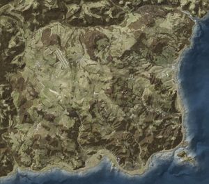
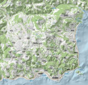
North-Eastern Chernarus is a hilly area with rocky coastlines; the biggest hilltops reach over 700 m above sea level, covered by temperate forests. The environment is still relatively untouched from logging and mining. The biggest cities and industry are concentrated on the southern coast. There are mostly smaller villages inland, situated in deep valleys, hidden in forested ridges or on elevated plateaus with lush meadows.
General Information
- Chernarus is based on actual real world data
- Chernarus is 225 km2 in size
- Almost 100km2 of Chernarus is covered by forest
- Chernarus has 350 kilometers of roads
- There are a total of 50 towns and villages across Chernarus
- Chernarus has three airfields (1 big and 2 small)
- 1 million 3d objects
- Hilly rural landscape with rocky coastline
- Living environment including civilian population and wildlife
Maps
External Links
Interactive map of Chernarus (Arma2.com)
Chernarus PDF (Arma2.com)
Chernarus: South Zagoria 3 sized hi-res JPG images (forums.bistudio.com)


